There are plenty of things Nick de Vries could point to as career accomplishments. As vice president of technology and asset management at Nashville, Tennessee-based Silicon Ranch, one of the largest independent solar power producers in the country, de Vries oversees a large portfolio of utility-scale solar projects in 14 states, including the first large solar plants ever built in Georgia, Tennessee, Arkansas and Mississippi.
Along with his colleagues at Silicon Ranch, de Vries has played a role in the mainstreaming of solar energy throughout the United States. “I think we are going into more places because there is a broader demand for our product and a lot of that is because we are price-competitive on a dollar per megawatt-hour basis,” said de Vries, who has also held positions at Silevo, Phoenix Solar, Applied Materials and served as an Infantry Captain in the U.S. Army. “Communities and more utilities and more customers are demanding cleaner energy and we are the fastest and most cost-effective manner to provide that.”
While certainly pleased with his contributions to the wider availability of clean and cheap electricity, these days de Vries has set himself a new goal. “I have taken it on myself to coin and popularize the term, ‘terrain losses,’” he said. If you’re in the solar industry and the term is a head-scratcher, you’re by no means alone. But it essentially refers to the fact that more and more tracker systems are being built on land that is not flat. When there are undulations, the possibility of inter-row shading increases and needs to be modeled to ensure that the projections of energy yields on which investors, utilities, project owners and other stakeholders rely are accurate.
A maturing solar industry needs to recognize rolling terrain
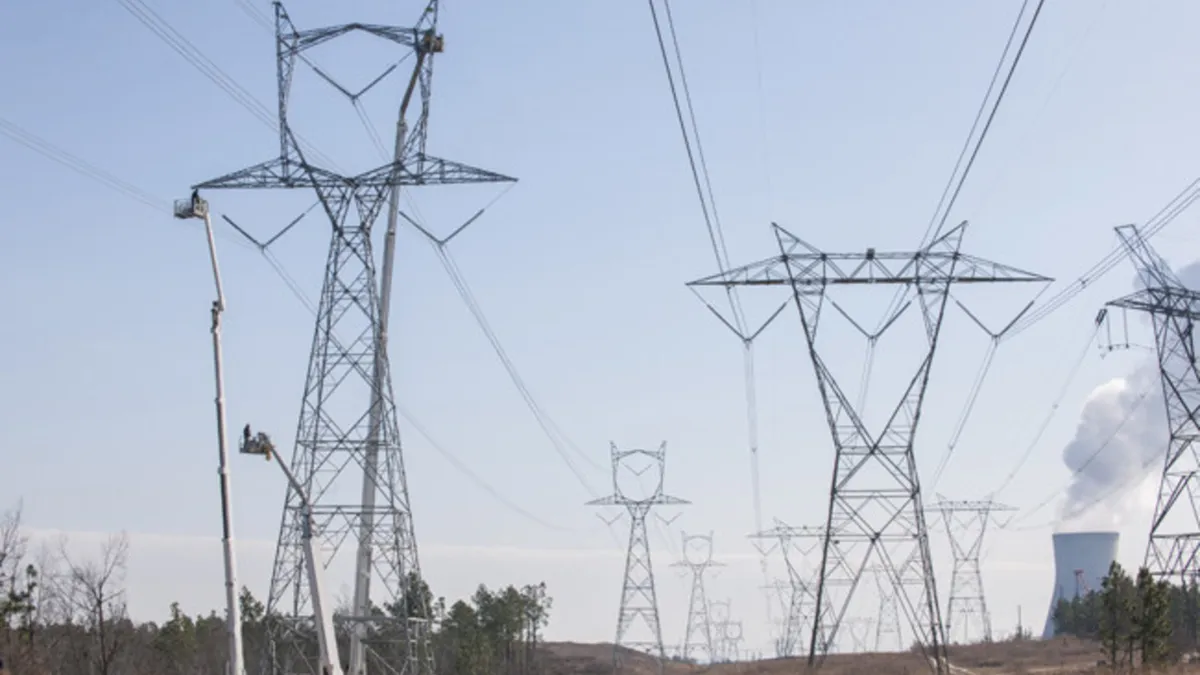
In many ways, the need for the solar industry to consider the impact of rolling terrain in modeling tracker systems and project design is a significant sign of maturity. “The days of perfect square projects in the flat desert right next to transmission are gone in the solar industry. We have tracker systems going into areas that used to not be considered and plots of land people stayed away from,” said Mark Reusser, a senior manager in the consultancy ICF’s technical advisory group, where he provides independent engineering assessments to investors, project sponsors and others backing a wide range of solar projects.
The fact that projects are being built in states like New York and Illinois and Mississippi is a good indication that solar has effectively driven its costs down so that it is competitive in regions of the country that don’t offer significant subsidies. While that provides significant opportunity for more solar development, the failure to adequately account for losses related to terrain has the potential to harm the reputation and legitimacy of the industry. “It’s something that the industry should take into consideration,” said Reusser. “Things like snow and shade losses are increasingly well understood and characterized. This is another item that folks need to be considering as they go through their development and design process. But it’s not something many people are doing today.”
Common software can create challenge
One of the main challenges to create energy yield models that accurately account for rolling terrain is that common software tools such as PVSyst are designed to model tracker systems on only flat land. There is no way to change individual tracker heights or slopes in a PVsyst backtracking simulation as of version 6.7.8. There are ways to still leverage PVSyst and roughly account for changes in the gradient of the terrain that may impact production. One way to do it is to take an entire block of a proposed utility-scale project—which is made up of several tracker rows—and split it into much smaller chunks, usually two rows each.
“You can split the same tracker block into many PV fields and then vary the heights in between them,” said Venkata Abbaraju, director of product management at NEXTracker, the world’s largest tracking manufacturer. “That is a way to force terrain variation into PVSyst, so it simulates multiple tracker PV fields as a single block, and it will run a coarse estimation of terrain losses by calculating the shading factors.”
When Abbaraju has done this with NEXTracker projects, the results have often been startling. Indeed, the projected energy yield provided through the standard use of PVSyst compared to the workaround that accounts for undulations can vary by as much as 6%. “It’s a big issue for a PV plant because even 3.5% of terrain loss in this example, can be millions over its lifetime,” said Abbaraju. But to do the manual work required to account for rolling terrain takes a lot of time, as much as four hours per block and several days for a large utility-scale project.
Facts over fear
As the solar industry moves into geographies that are more rolling and challenging, the ability to quickly complete accurate production models will only become more important. For Silicon Ranch’s de Vries, it’s an issue today. “Silicon Ranch was a pioneer in bringing utility-scale solar to the Southeast, and so much of what I build is in that region. There is no desert, there are no flat plains. It’s not that I’m pushed into nonconforming sites for reasons beyond my control. It just happens to be what the land is like where my customers are.”
He already takes steps to reduce the potential impact of terrain losses, including flattening the land or increasing the spacing between rows of panels. But he is also upfront that every day presents an opportunity to learn. “Without a better understanding of the potential terrain losses, there is a fear of the unknown. When you have something unknown or feared, you make decisions differently than when it is a known and quantified issue,” he said. “I want to know more about what the terrain losses on tracker systems are so we can make better and data-based decisions on the land we acquire and plant design. That way we can do it based on facts rather than fear.”
Fortunately, thanks to the work already being pioneered by NEXTracker and other companies, there’s no need to wait for PVSyst or any of the other modeling tools to make the changes necessary to account for terrain losses. An almost complete picture of how the unique terrain in a specific geographic location will impact production just takes a bit more legwork – effort that is very much worthwhile when one considers how important and accurate production estimate is for a large-scale plant set to operate for the next three decades is to project financiers and owners and operators.
None of this requires ditching PVSyst altogether; it just means tweaking the approach project developers use as they model utility-scale projects with single axis trackers. “Ideally you want flexibility to change the height of each tracking row, but PVSyst can’t do it yet” said Abbaraju. “But by still using PVSyst and breaking the project into multiple tracking fields instead of one, you can vary the heights in between the rows and calculate the shade factors that need to be considered. This gives us the information we need for reasonably calculating production on the kinds of utility-scale projects we are seeing more and more around the world.”
Note: The most recent version of PVsyst is 6.7.8 at the time of researching this article, and some of the commentary in the article is only applicable to the aforementioned or a prior version of the software.